Dozens of software options are available for stitching photographs into scaleable, 2D mosaics or 3D models. We’ve been experimenting with a few different platforms for generating 3D models using footage captured by our DJI Phantom UAV (drone) or by technicians on the ground.
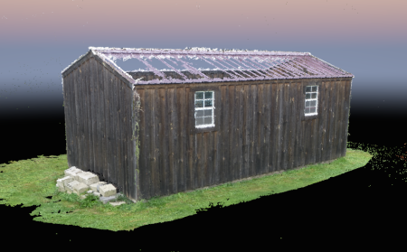
In the example below, the photogrammetry software could not accurately render the metal roof of our shed because the photos used to create the model were taken by a person on the ground. Achieving a higher angle of view, for example, by using a UAV, the software would have created a more complete model. This 3D model was built using only 51 images.
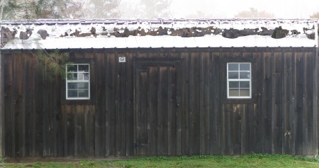
Some programs can output a 2D elevation or plan extracted from the 3D model, which can be used to create scale drawings with centimeter accuracy.
These outputs can be used as background drawings for a hands-on survey using TPAS, or to take measurements of inaccessible features such as antennas or finials.
This fly-through of a barn is of a 3D model created where the green line represents the flight path of the UAV and the dots represent the locations of where photographs were taken. Enjoy the drone’s-eye view:
https://www.youtube.com/watch?v=PLf_7GYrIH0&feature=youtu.be

