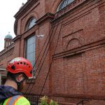
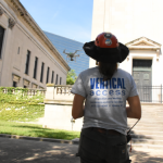
At Vertical Access, we go to great lengths—and heights—to help you gather meaningful data about your project’s site conditions.
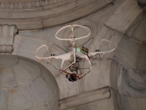
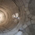
Our UAV services bring together the expertise of our FAA certified drone pilots, architectural conservators, engineers and historians to investigate buildings and infrastructure.
In areas that are impossible to access safely, high resolution photographs and video taken by the drone can be used to characterize the structure and the condition of materials and components. A drone flight can also serve as a reconnaissance survey, helping the project team to identify areas of concern for further investigation.
With just a few hundred digital photographs we can create 3D models with centimeter accuracy. Drone mounted infrared cameras can detect water infiltration and help to characterize hidden structural components.


UAV Services
- Exterior and interior annotated video documentation
- Photogrammetric surveys
- Infrared thermography
- Baseline monitoring